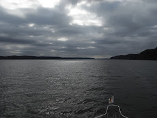
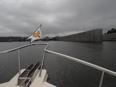
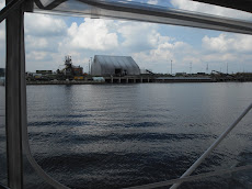
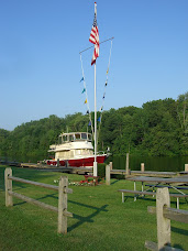
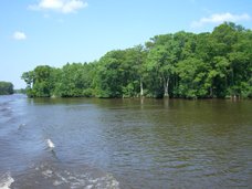
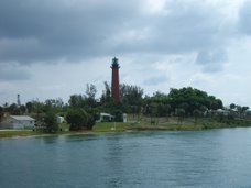
because I thought if you click on it, it would give you a bit of an idea of the
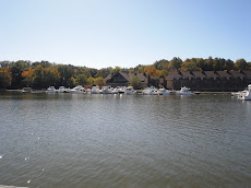
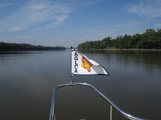
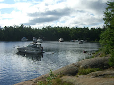
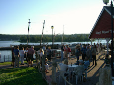
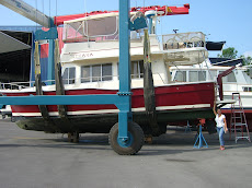
zig-zag channels, lakes and rivers we are navigating. (We started in the bottom right corner)
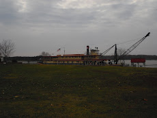
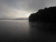
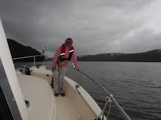
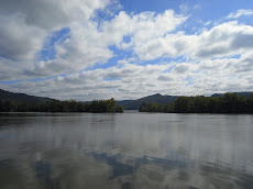
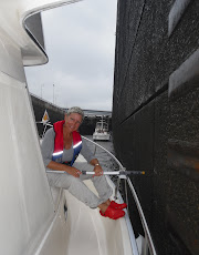
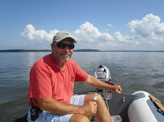
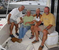
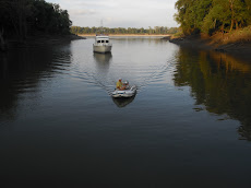
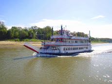
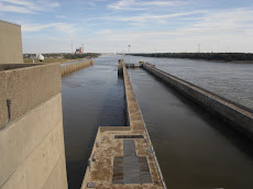
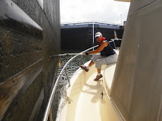
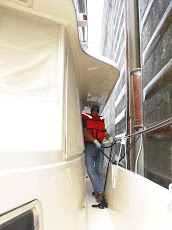
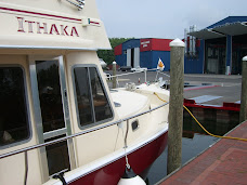
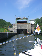
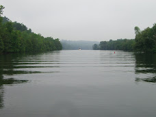
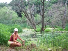
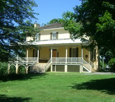
We have now completed 89 nautical miles and 19 locks in 5 days...It's a slow go,
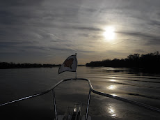
First we go north, then we go south...
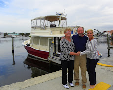
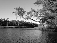
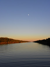
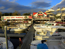
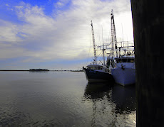
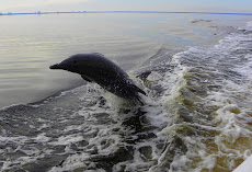
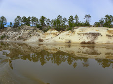
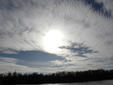
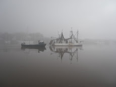
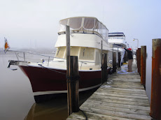
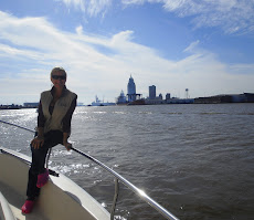
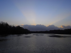
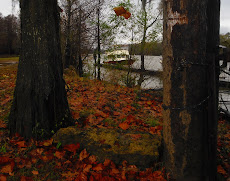
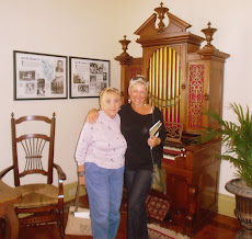
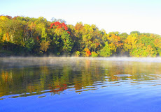
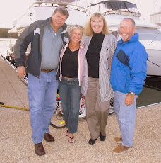
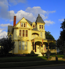
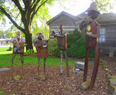
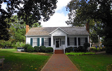
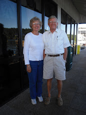
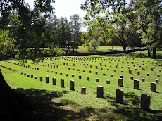
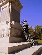
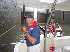
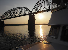
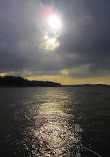
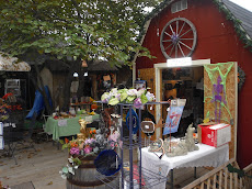
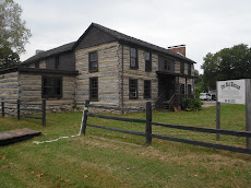
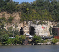
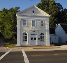
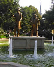
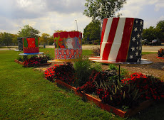
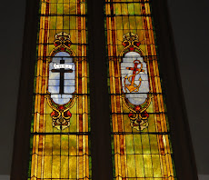
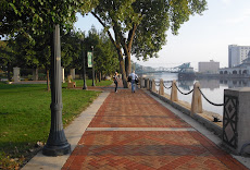
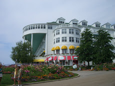
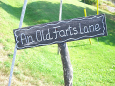
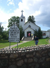
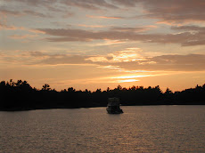
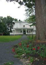
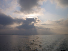
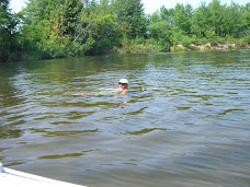
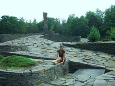
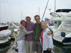
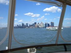
but, Oh the places we've been! the sites we've seen!


.JPG)
.JPG)


No comments:
Post a Comment