
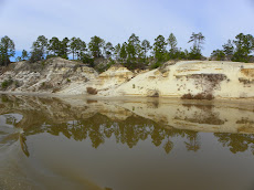
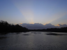
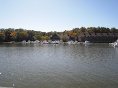
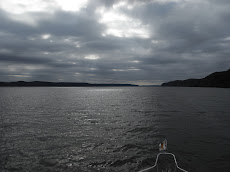
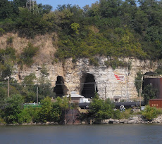
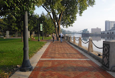
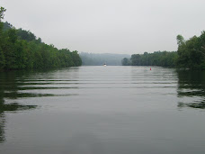
On Sunday we traveled past one of the more sublimely beautiful scenes on The Waterway, The White Cliffs of Epes...After cruising through the Florida Keys, up the Hudson River, island hopping in The North Channel and meandering along the eastern shore of Lake Michigan, the landscapes from Chicago to Mobile are pretty forgettable. Don't get me wrong, we've seen some lovely sights along this section of the blue highway, but it won't be the visual highlight of the loop. I did a bit of research to see if I could find out more about these majestic 200' cliffs that go on no more than a half-mile. Thanks to the river guidebook, I was ready with camera in hand at mile 249! I couldn't find out much online, but our own conclusion is it is some kind of geological anomaly. Several more miles down river another row of cliffs, much higher, but not as starkly white...less dramatic....but over 400', dotted the shoreline...Again, not much on google other than the blog entries of fellow loopers who made their way through this neck of the woods before us.
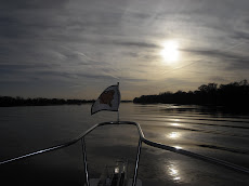
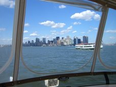
At mile 225 we found ourselves exactly half-way between the Tennessee River and Mobile Bay! Then at mile 217, another milestone, we passed the mouth of the Black Warrior River. We put the Tenn-Tom charts away and opened the Black River-Tombigbee Waterway charts...our last chartbook of the river system on The Great Circle Loop...I can almost smell salt in the air!
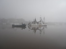
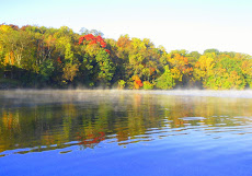
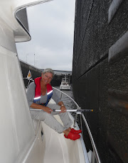
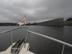
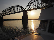
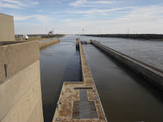
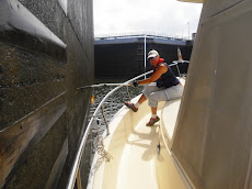
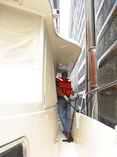
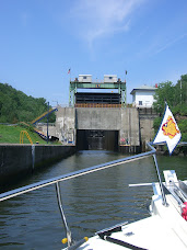
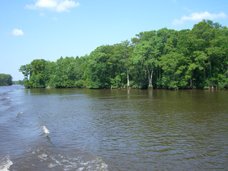
At the Demopolis Lock we waited over an hour while a northbound tug with 18 barges in tow came through. I still can't get over how they squeeze them in there! It was raining and cold, but I still went topdeck to get some neat pictures of the water cascading over the rocks and dam on the other side. For at least 6 miles past the lock the sides of the waterway became a beautiful smooth rockface wall, shaped by years of water rushing along the banks...here it is easy to mark the differences between the man-made channels that connect the God-made rivers that are bringing us south...
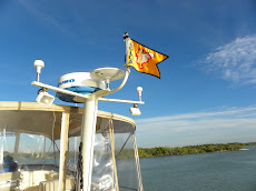
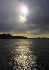
We are glad to have an electronic chart plotter, as many of the buoys are down due to the latest tropical storm, Ida, that made its way right up the path of the rivers just a month ago.
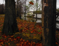
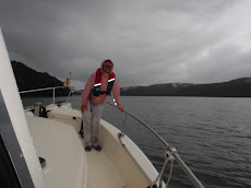
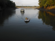
Monday was another long day...we arrived at Bashi Creek, mile 145, with just enough daylight to get both the stern and bow anchors set. When Chip turned into the creek I gave him one of those looks that said, 'you've got to be kidding me'! --From the bow I mouthed to him, "what is our depth?", he replied with both hands up, full-fingered...Hmmmm, 10 feet, interesting. Keep in mind, the width of this creek is less than 40'...you do the math.
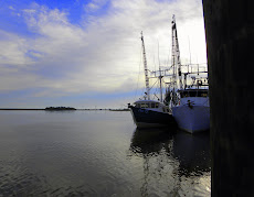
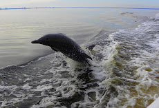
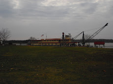
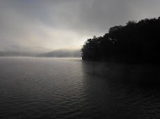
~Well, we had no cell phones or internet service (we are in the middle of nowhere)...But, I had a delicious dinner cooking by 6:30...the wine cork was popped and we settled in...We are keeping the movie selection varied. So far this week we've watched Raging Bull, Blazing Saddles and Running with Scissors (thank goodness for $5 movies at Walmart, right?) Tuesday morning (today), it's raining again...We only went 26 miles and decided to stop at Bobby's Fish Camp...a bit of a let down...not at all what we expected after all the hype...It is not quite 5 PM central time and it's already dark outside...Tomorrow we will try to make it all the way to the Alabama River cut-off and anchor again. The last of the waterway locks (known as the dirty dozen) in Coffeeville is only a few miles from here...it also officially marks the very last lock of our entire trip! I haven't counted them all, but I'd guess we've locked through over 140 times...and I can start looking for alligators soon!


.JPG)
.JPG)


No comments:
Post a Comment